The Nature Conservancy of Canada has teamed up with Google in an effort to make some of Canada’s hidden natural landscapes more accessible to people worldwide.
This mighty task is possible thanks to a 50-pound piece of equipment known as the Google Trekker, which Google Maps uses to create its Street View product. Essentially a backpack-mounted camera, the Trekker has 15 lenses which take panoramic images every 2.5 seconds, creating a virtual reality experience of the selected site.
“One of our mandates at NCC is connecting Canadians to nature, and Google Trekker is one of the ways we can do this,” says Carys Richards, a communications coordinator with the NCC in western Canada. “A lot of people aren’t able to experience our sites directly or don’t even know about them, so we hope this project will raise awareness and make people inspired to get out and explore and protect these landscapes.”
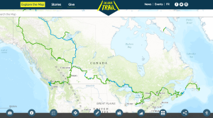
The goal is to document 20 sites—two from each province—by the end of the summer.
Eight sites have been captured since the project was launched last year, leaving the NCC with less than two months to trek to the remaining 12 sites.
Some sites were selected based on their beauty and accessibility to the public, while others were chosen for the opposite reason: to provide the public with an opportunity to explore important conservation sites that are inaccessible.
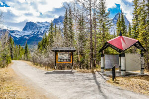
Darkwoods in British Columbia is an example of the latter: an area that offers a spectacular view of the Selkirk Mountains but is only accessible by helicopter.
“Darkwoods is a huge conservation area, about 55,000 hectares, and has all kinds of wildlife—grizzlies, moose, wolverines—you name it!” says Adrian Leslie, Darkwoods manager with the NCC. “That’s a big part of why we chose it as a site for the Google Trekker—we want people to be able to experience this amazing area that they can’t get to on foot.”
The six sites captured last year are expected to be available for viewing on Google by the end of the summer.