This article is over 5 years old and may contain outdated information.

Mapping

Map Monday: Can you identify cities by their streets?

  • Jan 11, 2015
  • 209 words
  • 1 minutes
Expand Image
Advertisement

Think you know your urban geography? Test yourself with this brief but entertaining quiz from The Washington Post. In the map clues provided, all extraneous cartographic data has been eliminated except for the streets, leaving a criss-crossed monochrome canvas that can be disorienting at first.

Despite the fact that most of the cities are located in the United States, Canada is not entirely forgotten, and the challenge is novel enough to make it worth your while. With nothing but the shape of streets to to indicate what is land and what is water, it creates an interesting new way to look at geography.

Author Christopher Ingraham elaborates further: “the structure of a city’s grid can tell you a lot about its history and its future: how planners built things in the past, and what their priorities might be for years to come. Some cities grew and evolved organically, while others are meticulously planned block-by-block. Many occupy a chaotic space in between, which you’ll likely find reflected in some of the grids below.”

What iconic Canadian cities would you like to see included in a future quiz? Tell us in the comments!

Advertisement

Are you passionate about Canadian geography?

You can support Canadian Geographic in 3 ways:

Related Content

Assassin's Creed Odyssey landscape

Mapping

Inside the intricate world of video game cartography

Maps have long played a critical role in video games, whether as the main user interface, a reference guide, or both. As games become more sophisticated, so too does the cartography that underpins them. 

  • 2569 words
  • 11 minutes
The War of 1812 giant floor encourages students to interact with history

Kids

Giant floor maps put students on the map

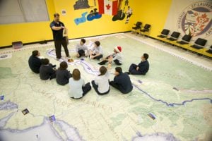
Canadian Geographic Education’s series of giant floor maps gives students a colossal dose of cartography and is a powerful teaching tool

  • 1487 words
  • 6 minutes
The New York Times COVID-19 map

Mapping

Mapping COVID-19: How maps make us feel

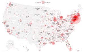
Canadian Geographic cartographer Chris Brackley continues his exploration of how the world is charting the COVID-19 pandemic, this time looking at how artistic choices inform our reactions to different maps

  • 1145 words
  • 5 minutes
Jeremy Bentham

Science & Tech

Shell’s Jeremy Bentham on the future of cities

The Vice-President of Global Business Environment and head of the Shell Scenarios team discusses the Future Cities project and how Canadian cities can be more sustainable

  • 1905 words
  • 8 minutes